


Il n'y a pas une annotation en français. Présenté est une annotation en Anglais.
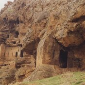
The Hermel III is is a Neolithic village on the left (western) bank of the Orontes according to P. Westcombe1, 2 km N of the Shepherd Neolithic near the village of Shoueighir.
See:
- Lorraine Copeland, Peter J. Wescombe: Inventory of stone-age sites in Lebanon, I, Impr. Catholique, Beyrouth 1966, p. 32
Références
- ↑Lorraine Copeland, Peter J. Wescombe, 1966, p. 32