

Es gibt noch keine deutschsprachige Anmerkungen. Präsentiert wirden Anmerkungen auf Niederländisch.
period: Late Bronze age
1200-800 BC
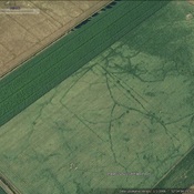
see: The Must Farm Timber Platform Project
citation from the website:
The Must Farm Settlement excavation is an ongoing project being carried out by the Cambridge Archaeological Unit with funding from Historic England and Forterra. The project is investigating an exceptionally well preserved settlement dating to the Late Bronze Age (1000 – 800BC). The site itself sits on the edge of a working quarry at Whittlesey, just outside of Peterborough.