
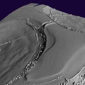
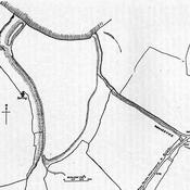
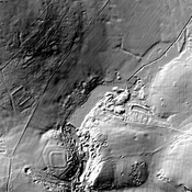
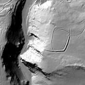
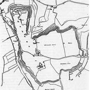
This octagonal temple is situated on a promontory overlooking the River Chew. The outer portico measures about 56½ feet in diameter, the inner cella about 32 feet across; all walls are about 3 feet thick. The temple faced east and was first built in the late-3rd century. After the collapse of the original building another temple was built, again to fall into ruin. The final rebuild after about AD367 included the addition of an internal screen. The building finally collapsed in the 5th century1.

Location:
- United Kingdom of Great Britain and Northern Ireland, Chew Stoke
- geo:51.36079,-2.63727
- Location ± 25-100 m.
Class:
- Temple or sanctuary
- invisible
Identifiers:
- vici:place=4385
Annotations
Nearby
Villa at Chew Magna (3 km)
Villa at Chew Magna (MONUMENT NO. 198033)
Villa at Chew Park (3 km)
Villa at Chew Park (MONUMENT NO. 197267)
Stanton Drew Great Cove (4 km)
Neolithic standing stones.