
Er zijn nog geen Nederlandstalige annotaties. Hier volgen annotaties in het Engels.

Omgeving:

Locatie:
- Verenigd Koninkrijk, Nether Stowey
- geo:51.145432,-3.201506
- Locatie precies
Classificatie:
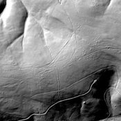
- Fort
- Zichtbaar
Identifiers:
- vici:place=35829
- wikidata:entity=Q5303655
Annotaties
In de buurt
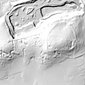
Robin Upright's Hill (1 km)
Dead Woman's Ditch cross-dyke, Robin Upright's Hill.
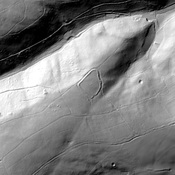
Plainsfield Camp (3 km)
Plainsfield Camp / Park Plantation / Cockercombe Castle) is a possible Iron Age earthwork
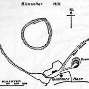
Trendle Ring (4 km)
Trendle Ring or Trundle Ring is a late prehistoric earthwork on the Quantock Hills near Bicknoller