

Es gibt noch keine deutschsprachige Anmerkungen. Präsentiert wirden Anmerkungen auf English.
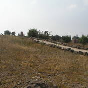
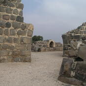
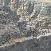
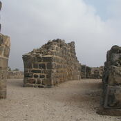
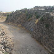
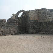
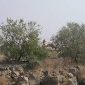
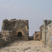
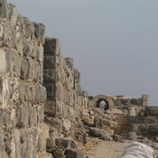
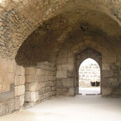
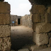
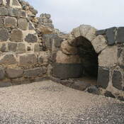
Following Saladin's victory over the Crusaders at the battle of the Horns of Hattin, Belvoir was besieged. The siege lasted a year and a half, until the defenders surrendered on 5 January 1189.