Es gibt noch keine deutschsprachige Anmerkungen. Präsentiert wirden Anmerkungen auf English.
A Minoan fresco showing a fleet and settlement.
See:


![Akrotiri [Santorini]](https://images.vici.org/crop/w175xh175/uploads/020b15b51f6f560e0336b2e895dfcbf8_img_1093.jpg)
![Akrotiri [Santorini]](https://images.vici.org/crop/w175xh175/uploads/img_1079.jpg)
![Akrotiri [Santorini]](https://images.vici.org/crop/w175xh175/uploads/img_1084.jpg)

A Minoan fresco showing a fleet and settlement.
See:
A Minoan fresco showing a fleet and settlement.
See:
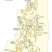
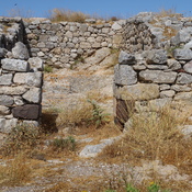
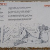
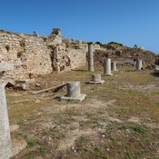
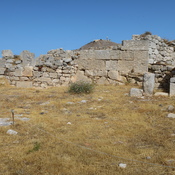
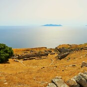
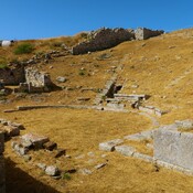
Minoan Bronze Age settlement
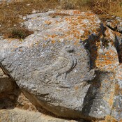
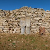
House of the Anchor of archaeological site of Akrotiri
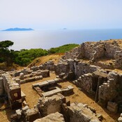
The West House in Ancient Akrotiri, Santorini.