
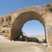
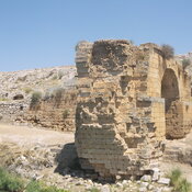
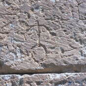
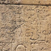
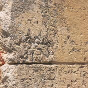

Il n'y a pas une annotation en français. Présenté est une annotation en Anglais.
Toponyms: Roman: Tarsa, Tharse; Arab.: Turūš; Syr.: T’rsich; Armen.: T‘orēš, T‘awrē’š; Frk.: Toreis; Ottom.: Turuş; Trk. (present): Kuyulu
The site on the tell appears on the Peutinger Map as the first station on the Roman road from Samosata to Germanikeia. During the Middle Ages a fortified town on top of the tell is mentioned, which was under Seljuk rule in the late 11th century. In the first decade of the 12th century it appears in the hands of the Armenian ruler Kogh Vasil and was part of the County of Edessa from 1112 onwards. 1150 it is taken over by the Artukid ruler Timurtash of Mardin, together with Samosata.