
Vici.org
No images available yet. Please add images related to this place.

Surroundings:

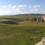
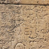
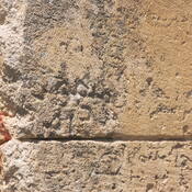
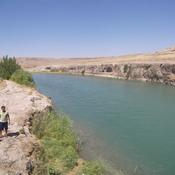
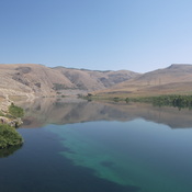
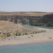
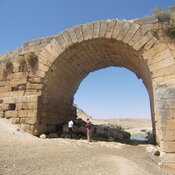
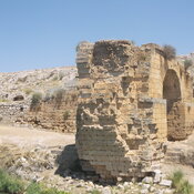
Turuş (Kuyulu) Kaya MezarlarıGöksu bridge (Roman) - InscriptionGöksu bridge (Roman) - InscriptionGöksu - Gök RiverGöksu - Gök RiverGöksu bridge (Roman)Roman bridge on GöksuRoman bridge on GöksuGöksu bridge (Roman) - Inscription

Location:

  • Türkiye, Kuyulu
  • geo:37.504387,38.229576
  • Location ± 25-100 m.

Period or year:

  • 1xx / unknown

Class:

  • Castle
  • invisible

Identifiers:

Annotations

Toponyms: Roman: Tarsa, Tharse; Arab.: Turūš; Syr.: T’rsich; Armen.: T‘orēš, T‘awrē’š; Frk.: Toreis; Ottom.: Turuş; Trk. (present): Kuyulu

The site on the tell appears on the Peutinger Map as the first station on the Roman road from Samosata to Germanikeia. During the Middle Ages a fortified town on top of the tell is mentioned, which was under Seljuk rule in the late 11th century. In the first decade of the 12th century it appears in the hands of the Armenian ruler Kogh Vasil and was part of the County of Edessa from 1112 onwards. 1150 it is taken over by the Artukid ruler Timurtash of Mardin, together with Samosata.


Nearby

Turuş (Kuyulu) Kaya Mezarları (1 km)

Roman necropolis.

Malpınarı Yazıtı (7 km)

Hittite inscription.

Palaş Höyük (7 km)

Palaş Höyük


This object was added by René Voorburg on 2012-05-29. Last update by Mathias Piana on 2024-09-01. Persistent URI: http://vici.org/vici/3389 . Download as RDF/XML, KML.
Annotation available using the Creative Commons Attribution-ShareAlike 3.0 Unported license. Metadata available using the Creative Commons Public Domain Dedication, unless it is explicitly stated otherwise.

Vici.org partners:

Livius.org: articles on ancient history   Rijksmuseum van Oudheden