Vici.org
Il n'y a pas d'images. Télécharger une image.

Les environs:

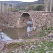
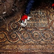
Mosaics of the early Christian monastery in Aliaga districtGryneion ruinsGryneion ruinsRoman Bridge

Localisation:

  • Turquie, Myrina/Sebastopolis
  • geo:38.844376,26.985838
  • Précision ± 25-100 m.

Period or year:

  • -1200~ / unknown

Classification:

  • Village
  • Invisible

Identificateurs:

Annotations

Myrina (Μυρίνα) was one of the Aeolian cities on the western coast of Mysia bout 40 stadia to the south-west of Gryneium.

See:

  1. George E. Bean, Aegean Turkey, London Benn Ltd., 1966, p.106-110
  2. William Smith eds., Dictionary of Greek and Roman Geography-https://www.gtp.gr/LocInfo.asp?IncludeWide=&InfoId=49&Code=ETRASM00ALGALG00011&PrimeCode=ETRASM00ALGALG00011&Level=10&PrimeLevel=10&LocId=60574&Entity=1016

À proximité

Myrina, Theatre

Theatre of Myrina

Monastery

Monastery and basilica of the fourth century in Aliaga district (Izmir).

Kalabasar Tepe

City walls from the Hellenistic period identified on Kalabasar