
Vici.org
Er zijn nog geen afbeeldingen met betrekking tot deze plaats toegevoegd.
Afbeelding toevoegen.

Omgeving:

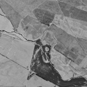
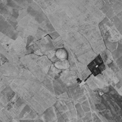
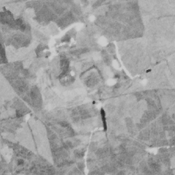
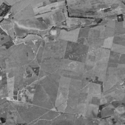
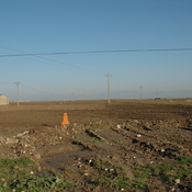
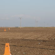
Qasem Abad (NTS-250), Gorgan plain, IranTingar Tappeh (KH-30), Gorgan plain, IranQal‘eh-ye Qabrestān (GWS-56), Gorgan plain, IranHaji Balkan Narges Tappeh (KH-39), Gorgan plain, IranFarahi Tappeh (NTS-51), Gorgan plain, IranWall of AlexanderWall of AlexanderWall of AlexanderWall of AlexanderWall of AlexanderWall of AlexanderWall of AlexanderWall of AlexanderWall of AlexanderWall of AlexanderWall of AlexanderWall of AlexanderWall of AlexanderWall of AlexanderWall of AlexanderWall of AlexanderWall of AlexanderHaji Morad Tappeh (KH-42), Gorgan plain, IranDestroyed anonymous settlement (KH-27), Gorgan plain, Iran

Locatie:

  • Iran, Dūnqūz Tappeh
  • geo:37.273521,55.309563
  • Locatie precies

Period or year:

  • 3xx / 6xx

Classificatie:

  • Fort
  • Zichtbaar

Identifiers:

  • vici:place=31894

Annotaties

Er zijn nog geen Nederlandstalige annotaties. Hier volgen annotaties in het Engels.

WILKINSON Tony J., REKAVANDI Hamid Omrani, HOPPER Kristen, PRIESTMAN Seth, ROUSTAEI Kourosh & GALIATSATOS Nikolaos (2013), The Landscapes of the Gorgan Wall, in Persia's Imperial Power in Late Antiquity. The Great Wall of Gorgan and frontier landscapes of Sasanian Iran. British Institute of Persian Studies Archaeological Monograph Series II, Oxbow: Oxford, 24-132 (https://www.academia.edu/2642021/Wilkinson_Rekavandi_Hopper_Priestman_and_Roustaei_2013_The_Landscapes_of_the_Gorgan_Wall)


 ( Igdir?)


In de buurt

Fortress

Fortress

Anonymous settlement (KH-196) (1 km)

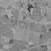
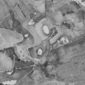
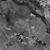
No dating information. Destroyed by agriculture, but still visible on CORONA imagery (1969).

Anonymous settlement (NTS-146) (1 km)

Neolithic, Iron Age III/IV, Achaemenid, Parthian, Sasanian and Islamic settlement (Abbasi 2011). 1 ha.


Dit object is toegevoegd door Ludwinski op 2016-12-30. Laatst bewerkt door Julien De Chocqueuse op 2022-01-09. Persistent URI: http://vici.org/vici/31894 . Download als RDF/XML, KML.
Annotatie beschikbaar onder de Creative Commons Naamsvermelding-GelijkDelen 3.0 Unported-licentie. Metadata beschikbaar onder de Creative Commons Publiek Domein Verklaring, tenzij expliciet anders aangegeven.
Lijntracé bij dit punt door Julien De Chocqueuse.

Vici.org partners:

Livius.org: articles on ancient history   Rijksmuseum van Oudheden