
Vici.org
Il n'y a pas d'images. Télécharger une image.

Les environs:

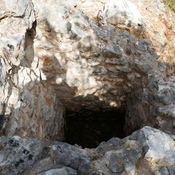
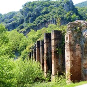
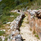
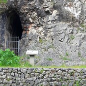
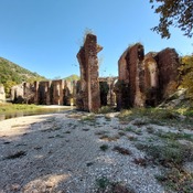
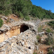
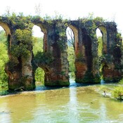
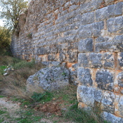
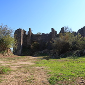
Shaft of the Nicopolis Roman aqueduct.REMAINS OF THE ROMAN AQUEDUCT BRIDGE. LOUROS RIVERWATER CHANNEL BEFORE THE AQUEDUCT BRIDG. LOUROS RIVERTHE WATER TUNNEL ENTRANCE ON THE MOUNTAIN OPPOSITE THE LOUROS AQUEDUCT BRIDGENicopolis aqueduct.Nicopolis aqueduct.THE AQUEDUCT BRIDGE. LOUROS RIVERBouchetionBouchetion

Localisation:

  • Grèce, Romiá
  • geo:39.228668,20.823677
  • Précision ± 0-5 m.

Period or year:

  • -6xx? / unknown

Classification:

  • Ville
  • Visible

Identificateurs:

  • vici:place=29892

Annotations

Il n'y a pas une annotation en français. Présenté est une annotation en Anglais.
  1. Epirus  The Geography, the Ancient Remains, the History and Topography of Epirus and Adjacent Areas    by N. G. L. Hammond. 1967.  Internet Archive.  p. 55 - 56   https://archive.org/details/hamepi
  1. Epirus  The Geography, the Ancient Remains, the History and Topography of Epirus and Adjacent Areas    by N. G. L. Hammond. 1967.  Internet Archive.  p. 55 - 56   https://archive.org/details/hamepi

À proximité

Shaft of the Nicopolis Roman aqueduct. (3 km)

Shaft of the Nicopolis Roman aqueduct.

Louros river. the roman aqueduct (5 km)

the roman aqueduct in order to provide water to Nicopolis city.

Bouchetion (8 km)

Bouchetion