

")
Er zijn nog geen Nederlandstalige annotaties. Hier volgen annotaties in het Engels.
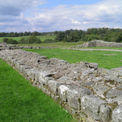
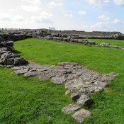
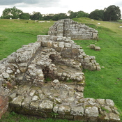
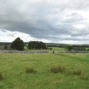
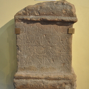
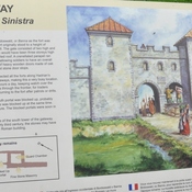
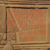
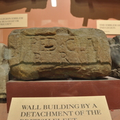
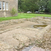
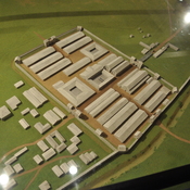
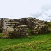
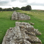
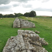
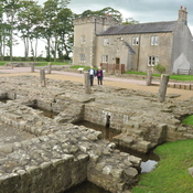
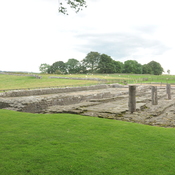
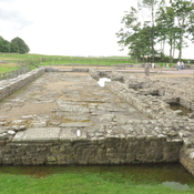
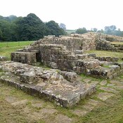
Hadrian’s Wall, Vallum or Fosse
Segment XII
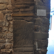
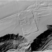
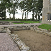
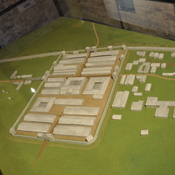
Magnis to Banna
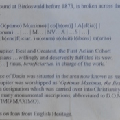
Carvoran to Birdoswald
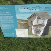
Mile Castles: 46 - 49
Built: after 128, dating uncertain
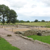
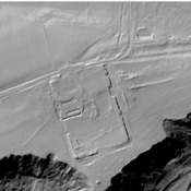
What is commonly called the “Vallum” was a wide ditch flanked by earthen ramparts that ran behind Hadrians wall. Its purpose remains uncertain as it is unique to Roman border fortifications. Possibly it was to define the military zone of the wall and to force trade and transport to follow marked roads to gates in the wall. In many places, it is more visible than the wall itself.
See: http://structuralarchaeology.blogspot.com/2010/11/40-reverse-engineering-vallum.html
https://en.wikipedia.org/wiki/Vallum_(Hadrian%27s_Wall)