


Il n'y a pas une annotation en français. Présenté est une annotation en Anglais.
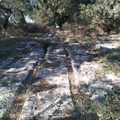
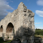
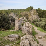
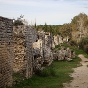
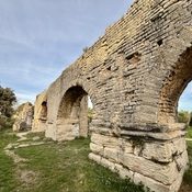
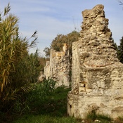
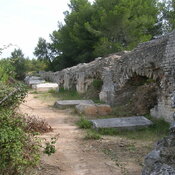
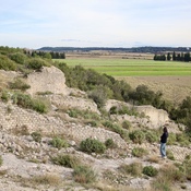
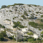
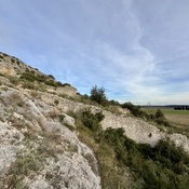
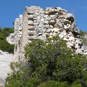
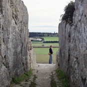
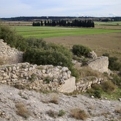
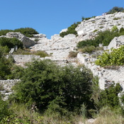
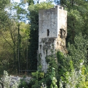
Statio Ernagium. Ernaginum was an important road junction. Here met the Via Agrippa (Arles-Lyons) and the Via Aurelia (Aurelian way, from Rome by the coast) and the Via Domitia (from Rome to Spain). In the 12th century, a fort was built on the remains of the old antique city.