Vici.org
No images available yet. Please add images related to this place.

Surroundings:

Roman RoadAqueduc Romain près de FontvieilleThe aqueduct at BarbegalAqueduct van BarbegalThe aqueduct at BarbegalAqueduct BarbegalThe aqueduct at BarbegalThe aqueduct at BarbegalArles, Remains of aqueductMoulins BarbegalThe watermills of BarbegalBarbegal millThe watermills of BarbegalThe watermills of BarbegalModel of the watermill of BarbegalBarbegal MillThe watermills of BarbegalThe sole remaining pier of the bridge over the Vallée des Baux.Via Agrippa in Graveson

Location:

  • France, Saint-Étienne-du-Grès
  • geo:43.767422,4.692892
  • Location ± 25-100 m.

Class:

  • Tavern or relay
  • invisible

Annotations

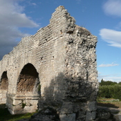
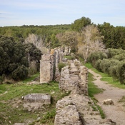
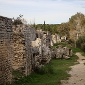
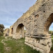
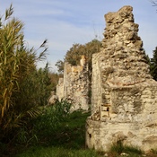
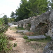
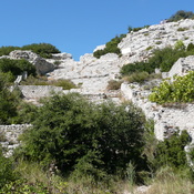
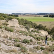
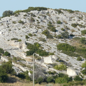
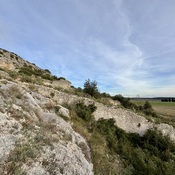
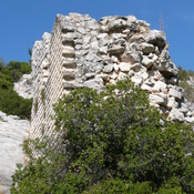
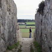
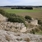
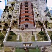
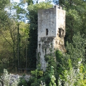
Statio Ernagium.  Ernaginum was an important road junction. Here met the Via Agrippa (Arles-Lyons) and the Via Aurelia (Aurelian way, from Rome by the coast) and the Via Domitia (from Rome to Spain). In the 12th century, a fort was built on the remains of the old antique city.


Nearby

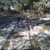
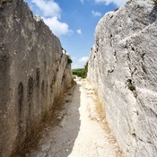
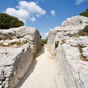
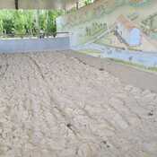
Roman road - ruts visible (1 km)

Roman road - ruts visible

Via Aureliana (2 km)

Via Aureliana

Via Agrippa (2 km)

Via Agrippa


This object was added by René Voorburg on 2012-05-29. Last update by René Voorburg on 2014-02-09. Persistent URI: http://vici.org/vici/2708 . Download as RDF/XML, KML.
Annotation available using the Creative Commons Attribution-ShareAlike 3.0 Unported license. Metadata available using the Creative Commons Public Domain Dedication, unless it is explicitly stated otherwise.

Vici.org partners:

Livius.org: articles on ancient history   Rijksmuseum van Oudheden