In anderen Sprachen:
Support Vici.org:
Follow Vici.org:
Build Vici.org:
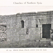
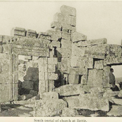
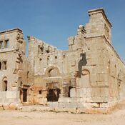
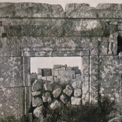
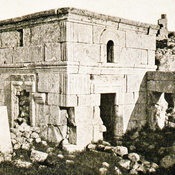
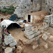
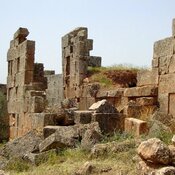
Byzantine settlement
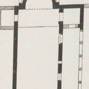
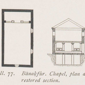
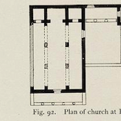
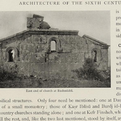
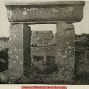
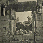
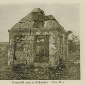
Small Byzantine chapel.
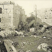
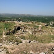
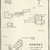
Byzantine settlement.