
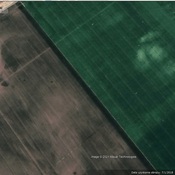

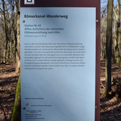
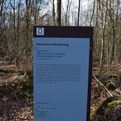
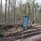
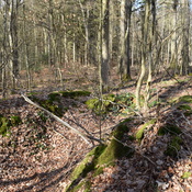
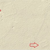
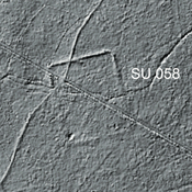
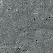
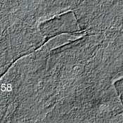
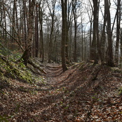
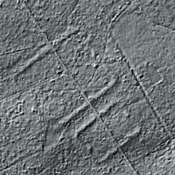
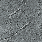
This tracing is based on an extrapolation of a road from Belgica Vicus. The road leads rather precise to the Alte Römerstraße in Metternich. Interpolating between Alte Römerstraße and Belgica Vicus on Google Maps shows many remaining traces of this road.

Location:
- Germany, Metternich
- geo:50.733521,6.886743
- Location ± 0-5 m.
Class:
- Road
- visible
Identifiers:
- vici:place=23256
Annotations
Nearby
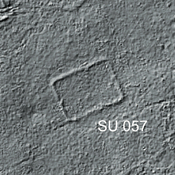
Roman camp ? (1 km)
Possible Roman camp.
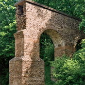
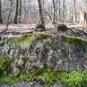
Eifel Aqueduct (4 km)
Eifel Aqueduct, one of the longest Roman aqueducts
Übungslager Kottenforst c (5 km)
Übungslager Kottenforst