Vici.org

Surroundings:

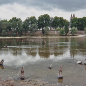
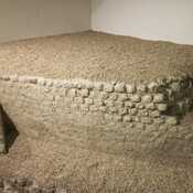
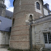
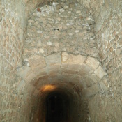
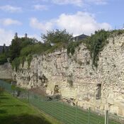
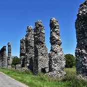
Vestiges du pont de CaesarodunumVestige de la cella du temple gallo-romain de ToursTour de l'ArchevêchéTours amphithéâtre vomitoire secondaireVomitoire de l'amphithéâtre de ToursVue de l'ancien Castrum de Caesarodunomaquaduct Luynes

Location:

  • France, La Membrolle-sur-Choisille
  • geo:47.431377,0.647331
  • Location ± 0-5 m.

Class:

  • Road
  • visible

Identifiers:

  • vici:place=19495

Annotations

The roman road surface is visible and in daily use.


Nearby

Roman Rd Angers à Tours (4 km)

Roman Rd Angers à Tours

Martiniacum (4 km)

Villa rustica

Roman Bridge (4 km)

Roman Bridge


This object was added by Simon Brand on 2014-10-23. Last update by Simon Brand on 2014-10-23. Persistent URI: http://vici.org/vici/19495 . Download as RDF/XML, GeoJSON, KML.
Annotation available using the Creative Commons Attribution-ShareAlike 3.0 Unported license. Metadata available using the Creative Commons Public Domain Dedication, unless it is explicitly stated otherwise.
Line tracing by Ludwinski.

Vici.org partners:

Livius.org: articles on ancient history   Rijksmuseum van Oudheden