

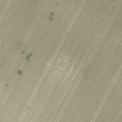
Voie Romaine de Amiens à Pont-Sainte-Maxence

Localisation:
- France, Sains-en-Amiénois
- geo:49.822109,2.318505
- Précision ± 0-5 m.
Classification:
- Voie romaine
- Visible
Identificateurs:
- vici:place=19213
Annotations
À proximité
La Ferme Rouge, Cottenchy (3 km)
Ville gallo-romaine
Villa gallo-romaine d'Estrées-sur-Noye (4 km)
Villa gallo-romaine d'Estrées-sur-Noye
Milestone Longueau (CIL 17-02, no. 508) (6 km)
Milestone Longueau (CIL 17-02, no. 508), see http://oracle-vm.ku-eichstaett.de:8888/epigr/epieinzel_en?p_belegstelle=CIL+17-02,+00508. Data from http://francia.ahlfeldt.se/