Il n'y a pas une annotation en français. Présenté est une annotation en Néerlandais.
Seleucid (?) rock relief


Seleucid (?) rock relief
Seleucid (?) rock relief
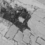
Probable settlement. Located with satellite imagery.
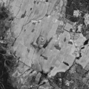
Probable settlement (ancient Kir?). Located with satellite imagery.
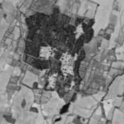
Probable settlement. Located with satellite imagery.