
Es gibt noch keine Anmerkungen. Bitte, Informationen einfügen.

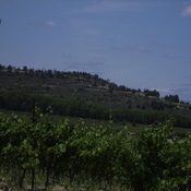
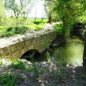
Lage:
- Frankreich, Nissan-lez-Enserune
- geo:43.289764,3.12804
- Lage ± 25-100 m.
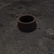
Klassification:
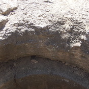
- Werkstatt
- Unsichtbar
Identifiers:
- vici:place=16676
- pleiades:place=246519
- dare:place=17494
Anmerkungen
In der Nähe
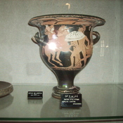
Ensérune, Musée d'Ensérune (2 km)
Archaological museum of the Gallic oppidum
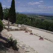
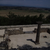
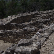
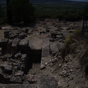
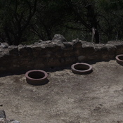
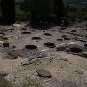
Ensérune (2 km)
Ensérune
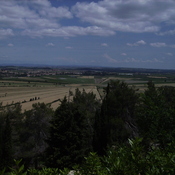
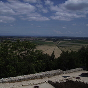
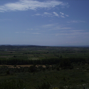
Étang de Montady (3 km)
The Étang de Montady is a drained pond or lagoon, or more accurately a former freshwater wetland. The Étang de Montady was in fact built by monks and wealthy Béziers landowners during the second half of the 13th century after a 1247 authorization by th