
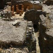
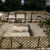
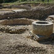
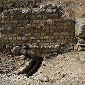
Es gibt noch keine Anmerkungen. Bitte, Informationen einfügen.

Lage:
- Frankreich, Narbonne
- geo:43.149513,3.012166
- Lage ± 25-100 m.
Klassification:
- Villa rustica
- Unsichtbar
Identifiers:
- vici:place=16575
- dare:place=39307
Anmerkungen
In der Nähe
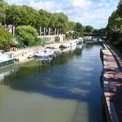
Robine canal (1 km)
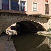
The Robine canal is a Roman canal that was already dug at the foundation of the first colony. This channel led to Lake Sigean-Gruissan, which then, together with many other lakes, formed a much larger water surface.
Castélou - Mandirac (2 km)
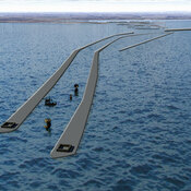
Port of roman Narbone. Mole and breakwater
Roman Rd (2 km)
Roman Rd