
Il n'y a pas une annotation en français. Présenté est une annotation en Anglais.
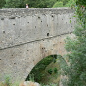
Aqueduct Pondel
Tracing
© 2004 - 2011 Cees W. Passchier


Milestone Saint-Pierre Aosta (CIL 17-02, no. 108), see http://oracle-vm.ku-eichstaett.de:8888/epigr/epieinzel_en?p_belegstelle=CIL+17-02,+00108. Data from http://francia.ahlfeldt.se/
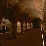
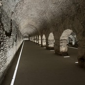
Pont d'Aël
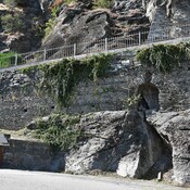
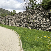
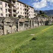
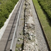
supporting wall Roman road