
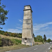
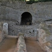
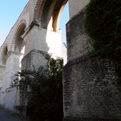
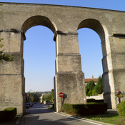
The underground part of the aqueduct was made up of two sections. The first one ran from Gorze to the basin of Ars and was 12.7 km long. The second one ran from the basin of Jouy to the castellum divisorium which was probably situated in the area of today's Hôpital Bon

Surroundings:

Location:
- France, Novéant-sur-Moselle
- geo:49.03001,6.03258
- Location ± 0-5 m.
Class:
- Aqueduct
- visible
Identifiers:
- vici:place=14741
Annotations
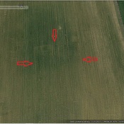
Neben der Straße D12 von Novéant-sur-Moselle nach Gorze sichtbarer Teil des unterirdisch verlaufenden Teils des Aquädukts. Parkbucht direkt vor Ort, keine Infotafel.
Hinweis:
03.04.2015: Geokoordinaten korrigiert (letzte Koordinaten N49.034859 / E6.051580 um 1500m abweichend!!!!!!)
Nearby
Diverticule de Metz à Pont-à-Mousson (1 km)
Diverticule de Metz à Pont-à-Mousson
Aqueduct Metz (4 km)
Aqueduct Metz
Metz Aqueduct, Left bank (5 km)
Metz Aquaduct