
Il n'y a pas une annotation en français. Présenté est une annotation en Anglais.

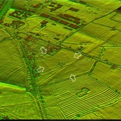
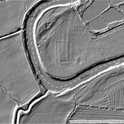
Localisation:
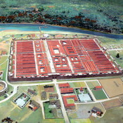
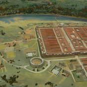
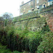
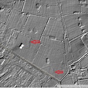
- Royaume-Uni, Chester
- geo:53.167267,-2.88255
- Précision ± 0-5 m.
Period or year:
- 71~ / unknown
Classification:
- Habitat rural
- Visible
Identificateurs:
- vici:place=12281
- wikidata:entity=Q15223736
Annotations
http://en.wikipedia.org/wiki/Heronbridge_Roman_Site
http://www.pastscape.org.uk/hob.aspx?hob_id=69293
https://web.archive.org/web/20160812163351/http://roman-britain.co.uk/places/heronbridge.htm
À proximité
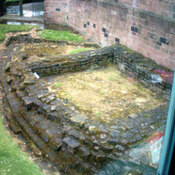
Roman Road from Chester to Aldford (1 km)
The Roman Road from Chester to Aldford (East bank of River Dee)
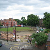
Roman Fort (1 km)
Possible Fort site
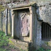
Minerva's shrine, Handbridge (1 km)
A shrine dedicated to Minerva