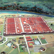
http://en.wikipedia.org/wiki/Heronbridge_Roman_Site
http://www.pastscape.org.uk/hob.aspx?hob_id=69293
https://web.archive.org/web/20160812163351/http://roman-britain.co.uk/places/heronbridge.htm


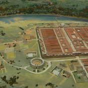
http://en.wikipedia.org/wiki/Heronbridge_Roman_Site
http://www.pastscape.org.uk/hob.aspx?hob_id=69293
https://web.archive.org/web/20160812163351/http://roman-britain.co.uk/places/heronbridge.htm
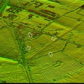
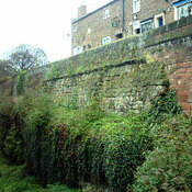
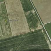
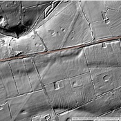
The Roman Road from Chester to Aldford (East bank of River Dee)
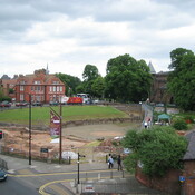
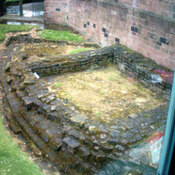
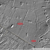
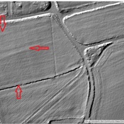
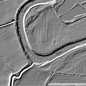
Possible Fort site
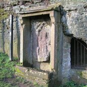
A shrine dedicated to Minerva