
Vici.org

Surroundings:

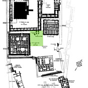
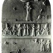
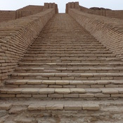
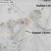
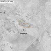
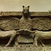
E-hursagUr, E-dublal-mahUr, planUr, E-giparUr-Nammu StelaZigguratUr, So-called IRAQ_Lower Euphrates_1968_Diqdiqah (EUAS-11 & 12)IRAQ_Lower Euphrates_1968_AS (EUAS-02)Imdugud ReliefEUAS-72_Anonymous settlement_Map site_Wright (1966), in ADAMS (1981), p. 337 (fig 26)

Location:

  • Iraq, Ūr
  • geo:30.962885,46.105423
  • Exact location

Period or year:

  • -5700~ / -500~

Class:

  • City
  • visible

Annotations

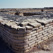
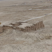
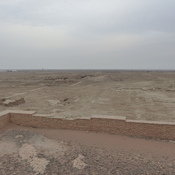
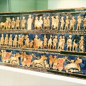
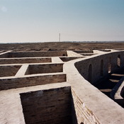
Ur was an important Sum.erian city-state in ancient Mesopotamia, located at the site of modern ‘Tel Muqeihar/Muqayyar’ - ‘mound of bitumen’. Originally Ur was a  coastal city near the mouth of the Euphrates on the Persian Gulf.

See:

  1. http://www.ur-online.org/location/18/
  2. Appendix, The Southern Margins of Sumer – Archaeological Survey of the Area of Eridu and Ur, Henry T. Wright, 1966, in ADAMS R. McC. (1981), Heartland of Cities. Surveys of Ancient Settlement and Land Use on the Central Floodplain of the Euphrates, University of Chicago Press ( https://archive.org/details/heartlandofcitie0000adam/page/n5/mode/2up )

  3. BENATI Giacomo, LEONI Elena & MANTELLINI Simone (2017), Georeferencing Woolley’s “Royal Cemetery” and Deep Soundings at Ur (Iraq), OCNUS, 24 (https://www.researchgate.net/publication/316542993_Georeferencing_Woolley's_Royal_Cemetery_and_Deep_Soundings_at_Ur_Iraq )

Ur (Tell Muqayyar)

Ur (Tell Muqayyar)

Ur (Tell Muqayyar)


Nearby

Urim - Ur Sumerian, E-nun-mah

Storehouse - Chaldeans Ue.

Ehursag, Ur [Urim]

E-hursag. Palace


This object was added by René Voorburg on 2012-12-22. Last update by Julien De Chocqueuse on 2026-09-20. Persistent URI: http://vici.org/vici/11482 . Download as RDF/XML, KML.
Annotation available using the Creative Commons Attribution-ShareAlike 3.0 Unported license. Metadata available using the Creative Commons Public Domain Dedication, unless it is explicitly stated otherwise.

Vici.org partners:

Livius.org: articles on ancient history   Rijksmuseum van Oudheden