
Vici.org
Il n'y a pas d'images. Télécharger une image.

Les environs:

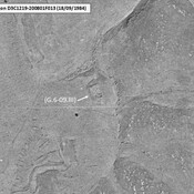
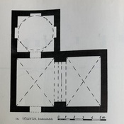
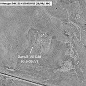
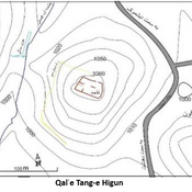
IRAN_Kohkiluyeh & Buyer Ahmad_Anonymous site_G.6-09.III_1984Tuliyan, Gaube (1973)_Emamzadeh site mapIRAN_Kohkiluyeh & Buyer Ahmad_Darwis ʿAli Dad_G.6-09.IV_1984Qalʿe Tang-e Higun site map_ed Sepidnameh (2020)

Localisation:

  • Iran, Zarghāmābād
  • geo:30.850145,50.666206
  • Précision ± 0-5 m.

Period or year:

  • 7xx / 9xx

Classification:

  • Camp fortifié
  • Visible

Identificateurs:

  • vici:place=104486

Annotations

Il n'y a pas une annotation en français. Présenté est une annotation en Anglais.

SEPIDNAMEH H. et al. (2020), An Analysis of the Forming Factors, Function, and Significance of Castles and Fortresses of Koureh Arrajan from Early Islam to the End of Seljuq Dynasty, Historical Study of War, 4(1) (https://hsow.journal.araku.ac.ir/article_40335.html )

SEPIDNAMEH H. et al. (2020), An Analysis of the Forming Factors, Function, and Significance of Castles and Fortresses of Koureh Arrajan from Early Islam to the End of Seljuq Dynasty, Historical Study of War, 4(1) (https://hsow.journal.araku.ac.ir/article_40335.html )


À proximité

Unidentified site (1 km)

Probable archaeological site. Located with satellite imagery.

Unidentified site (2 km)

Probable archaeological site. Located with satellite imagery.

Unidentified site (2 km)

Probable archaeological site. Better visible on KH9-Hexagon imagery.