
BENATI Giacomo, LEONI Elena & MANTELLINI Simone (2017), Georeferencing Woolley’s “Royal Cemetery” and Deep Soundings at Ur (Iraq), OCNUS, 24 (https://www.researchgate.net/publication/316542993_Georeferencing_Woolley's_Royal_Cemetery_and_Deep_Soundings_at_Ur_Iraq )

Location:
- Iraq, Maḩaţţat Ūr
- geo:30.936958,46.12009
- Location ± 0-5 m.
Period or year:
- -18xx? / unknown
Class:
- Rural settlement
- invisible
Identifiers:
- vici:place=104085
Annotations
Nearby
Anonymous site (MA.III)
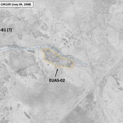
Small mound along a relict chanel, visible on Corona imagery (1968), since destroyed. Remote-sensing detected by Mantellini (2017). Not dated.
Anonymous site (MA.I)
Small mound along a relict chanel, visible on Corona imagery (1968), since destroyed. Remote-sensing detected by Mantellini (2017). Not dated.
Anonymous settlement (EUAS-14)
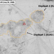
Late Larsa settlement (1,1 ha). Mound visible on Corona imagery (1968), since badly damaged by modern construction. Surveyed by T. Wright (1966).