
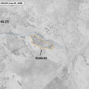
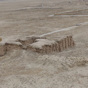
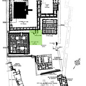
Appendix, The Southern Margins of Sumer – Archaeological Survey of the Area of Eridu and Ur, Henry T. Wright, 1966, in ADAMS R. McC. (1981), Heartland of Cities. Surveys of Ancient Settlement and Land Use on the Central Floodplain of the Euphrates, University of Chicago Press ( https://archive.org/details/heartlandofcitie0000adam/page/n5/mode/2up )
Localisation:
- Irak, ‘Abd Āl Washīḩ
- geo:30.957464,46.009651
- Précision ± 0-5 m.
Period or year:
- -1800~ / -550~
Classification:
- Village
- Visible
Identificateurs:
- vici:place=103939
Annotations
Il n'y a pas une annotation en français. Présenté est une annotation en Anglais.
Appendix, The Southern Margins of Sumer – Archaeological Survey of the Area of Eridu and Ur, Henry T. Wright, 1966, in ADAMS R. McC. (1981), Heartland of Cities. Surveys of Ancient Settlement and Land Use on the Central Floodplain of the Euphrates, University of Chicago Press ( https://archive.org/details/heartlandofcitie0000adam/page/n5/mode/2up )
À proximité
Tall al-Ubajd [Ubaid] (2 km)
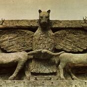
Settlement dates to ca. 6500 to 3800 BC. It gave the name to the period. This term was coined at a conference in Baghdad in 1930.
Tell al-Ubajd, Ninhursag Temple (2 km)
Temple of Ninhursag
Tall al-Ubajd [Ubaid] (2 km)
Necropolis of Ubaid


