

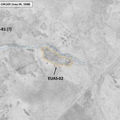
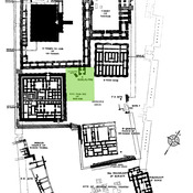
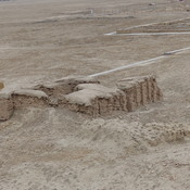
Appendix, The Southern Margins of Sumer – Archaeological Survey of the Area of Eridu and Ur, Henry T. Wright, 1966, in ADAMS R. McC. (1981), Heartland of Cities. Surveys of Ancient Settlement and Land Use on the Central Floodplain of the Euphrates, University of Chicago Press ( https://archive.org/details/heartlandofcitie0000adam/page/n5/mode/2up )

Location:
- Iraq, ‘Abd Āl Washīḩ
- geo:30.957464,46.009651
- Location ± 0-5 m.
Period or year:
- -1800~ / -550~
Class:
- Vicus or canabae
- visible
Identifiers:
- vici:place=103939
Annotations
Nearby
Tall al-Ubajd [Ubaid] (EUAS-8) (2 km)
Eridu, Haji Muhammad, Early & late Ubaid, Uruk, Jemdet Nasr, Early Dynastic I & III, and Ur III periods settlement. The Ubaid period is named after this site. Excavated by Hall and Wooley.
Tell al-Ubajd, Ninhursag Temple (2 km)
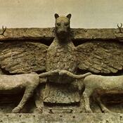
Temple of Ninhursag.
Tall al-Ubajd [Ubaid] (2 km)
Necropolis of Ubaid