
Vici.org
Keine Bilder von diesem Ort. Bitte, Bilder hochladen.

Umgebung:

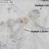
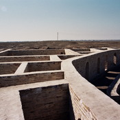
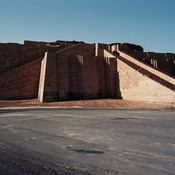
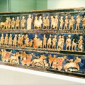
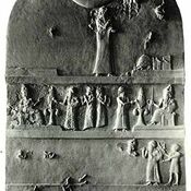
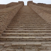
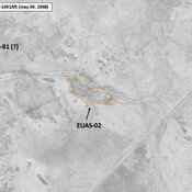
IRAQ_Lower Euphrates_1968_Diqdiqah (EUAS-11 & 12)Ur, So-called Ur, zigguratE-hursagUr, E-giparUr, planUr, E-dublal-mahUr-Nammu StelaZigguratIRAQ_Lower Euphrates_1968_AS (EUAS-02)

Lage:

  • Irak, Daqdaqah
  • geo:30.977549,46.149307
  • Lage ± 0-5 m.

Period or year:

  • -2350~ / -2150~

Klassification:

  • Bäuerliche Siedlung
  • Sichtbar

Identifiers:

  • vici:place=103781

Anmerkungen

Es gibt noch keine deutschsprachige Anmerkungen. Präsentiert wirden Anmerkungen auf English.

Appendix, The Southern Margins of Sumer – Archaeological Survey of the Area of Eridu and Ur, Henry T. Wright, 1966, in ADAMS R. McC. (1981), Heartland of Cities. Surveys of Ancient Settlement and Land Use on the Central Floodplain of the Euphrates, University of Chicago Press ( https://archive.org/details/heartlandofcitie0000adam/page/n5/mode/2up )

BENATI Giacomo, LEONI Elena & MANTELLINI Simone (2017), Georeferencing Woolley’s “Royal Cemetery” and Deep Soundings at Ur (Iraq), OCNUS, 24 (https://www.researchgate.net/publication/316542993_Georeferencing_Woolley's_Royal_Cemetery_and_Deep_Soundings_at_Ur_Iraq )


In der Nähe

Anonymous settlement (EUAS-180) (1 km)

Late Larsa settlement (O,6 ha). Surveyed by T. Wright (1966). Not clearly detected on Corona imagery (1968), and probably since destroyed. Exact location uncertain.

Unidentified site (1 km)

Probable archaeological site. Located with satellite imagery.

Tell Ba'arura Shamal (EUAS-20) (2 km)

Kassite period settlement. Surveyed by T. Wright (1966). Badly damaged in recent times, but better visible on Corona imagery (1968).