
COLE Steven (2007), Documentary and Other Archaeological and Environmental Evidence Bearing on the Identification and Location of the Rivers of Lower Khuzestan and the Position of the Head of the Persian Gulf, ca. 1200 BC – 200 AD, in Akkadica 128 (2007): 1-72 (https://www.academia.edu/7531835/Documentary_and_Other_Archaeological_and_Environmental_Evidence_Bearing_on_the_Identification_and_Location_of_the_Rivers_of_Lower_Khuzestan_and_the_Position_of_the_Head_of_the_Persian_Gulf_ca_1200_BC_200_AD_with_H_Gasche_)

Location:
- Iran (Islamic Republic of), Mālek-e Ashtar
- geo:32.026867,48.363243
- Location ± 0-5 m.
Period or year:
- 2xx / 6xx
Class:
- Rural settlement
- invisible
Identifiers:
- vici:place=102260
Annotations
Relevant museums
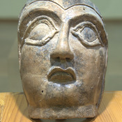
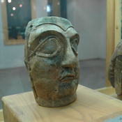
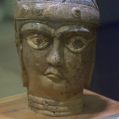
Susa, Archaeological Museum
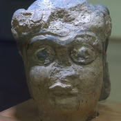
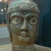
Susa, Archaeological Museum
Nearby
Anonymous settlement (KS-90?) (2 km)
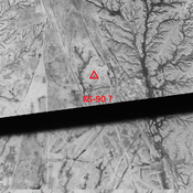
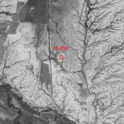
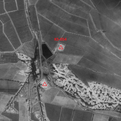
Late Susiana I, Susa I, Terminal Susa I, and early & middle Uruk settlement (1,8 ha). Destroyed by modern agriculture, but visible on CORONA imagery.
Anonymous settlement (KS-89?) (2 km)
Late Susiana and Susa I settlement (0,8 ha).
Anonymous site (2 km)
Late Bronze Age to Sassanian settlement. Mostly destroyed in recent times, but visible on Corona imagery.