
No annotations have been added. Please add information about this place.
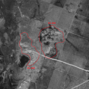
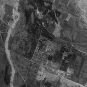
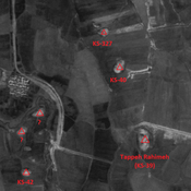
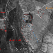
 - CORONA imagery")
Surroundings:

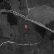

Location:
- Iran (Islamic Republic of), Shalgehī-ye Pā’īn
- geo:32.239204,48.503094
- Location ± 0-5 m.
Class:
- Archaeological observation
- invisible
Identifiers:
- vici:place=86465
Annotations
Nearby
Chogha Bonut (KS-109) (1 km)
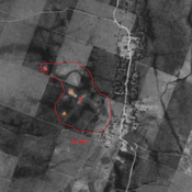
Neolithic (Aceramic), Archaic Susiana and Late Susiana settlement. Earliest agricultural village in lowland Ḵuzestān known to date.
Unidentified site (KS-109?) (1 km)
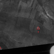
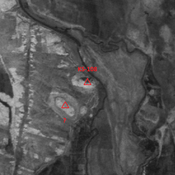
Probable settlement. Single-mound, destroyed by modern agriculture, but visible on CORONA imagery.
Anonymous settlement (KS-428) (2 km)
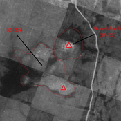
Middle and Terminal Parthian. Single-mound, destroyed by modern agriculture, but visible on CORONA imagery.