Vici.org
No images available yet. Please add images related to this place.

Surroundings:

St. Germain's BlockVerlamionAmphitheatre Verulamium

Location:

  • United Kingdom of Great Britain and Northern Ireland, Radlett
  • geo:51.703342,-0.327943
  • Location ± 0-5 m.

Class:

  • Road
  • visible

Identifiers:

  • vici:place=19149

Annotations

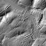
Margary Road Watling Street Section 1D

Roman Road from Londinium to Urioconio

Margary Road Watlind Street Segment 1D


Nearby

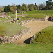
Villa at Radlett (1 km)

Villa at Radlett (MONUMENT NO. 362062)

Villa at Park Street (1 km)

Villa at Park Street (MONUMENT NO. 362066)

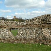
Roman Wall of St Albans (5 km)

Roman Wall of St. Albans


This object was added by olivier herbinet on 2014-08-16. Last update by Randal Gilbert on 2016-08-06. Persistent URI: http://vici.org/vici/19149 . Download as RDF/XML, GeoJSON, KML.
Annotation available using the Creative Commons Attribution-ShareAlike 3.0 Unported license. Metadata available using the Creative Commons Public Domain Dedication, unless it is explicitly stated otherwise.
Line tracing by Randal Gilbert.

Vici.org partners:

Livius.org: articles on ancient history   Rijksmuseum van Oudheden