
http://www.orthophotography.net/post/2011/01/23/Sommieres-Roman-Bridge
")
Umgebung:
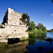
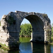
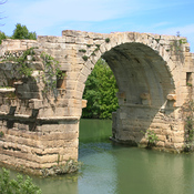

Lage:
- Frankreich, Sommières
- geo:43.782242,4.089045
- Lage ± 0-5 m.
Klassification:
- Brücke
- Sichtbar
Identifiers:
- vici:place=11452
- dare:place=415360
Anmerkungen
In der Nähe
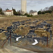
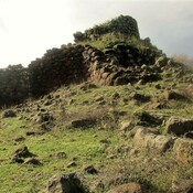
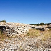
Villevieille, les Terriers
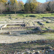
Roman buldings
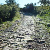
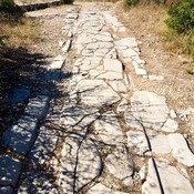
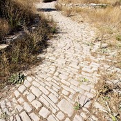
Roman Rd (2 km)
Roman Rd
A trench carved into the rock (2 km)
A trench carved into the rock