
Il n'y a pas d'annotations. Ajouter une note.
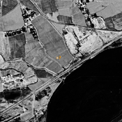
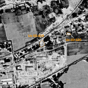
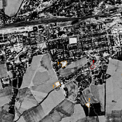
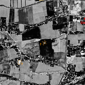
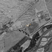
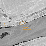
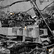
 Corona imagery (1970) - UZB-SD_1970_US-D (Manguzar 1)")
Les environs:


Localisation:
- Ouzbékistan, Manguzar
- geo:37.24313,67.340096
- Précision ± 0-5 m.
Classification:
- Observation
- Invisible
Identificateurs:
- vici:place=97698
Annotations
Musées associés
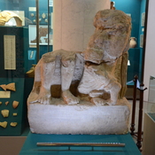
Tashkent, National Museum of Uzbek History
Historical museum
À proximité
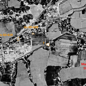
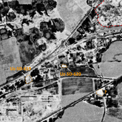
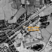
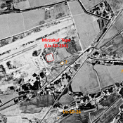
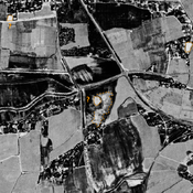
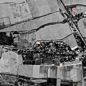
Manguzar Tepe (Uz-SD-295) (1 km)
Kushan settlement (secondary occupation in early Medieval times). Rectangular site, with a citadel in its NE corner. Studied by Annaev.
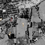
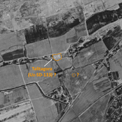
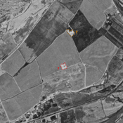
Unknown fort (1 km)
Unknown fort
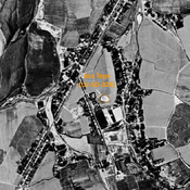
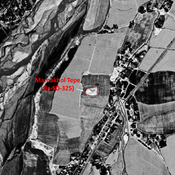
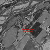
Unidentified site (2 km)
Probable archaeological site. Small mound, visible on Corona imagery (1970), since destroyed by urbanisation.