
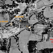
No annotations have been added. Please add information about this place.

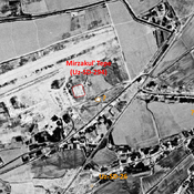
Location:
- Uzbekistan, Komsomol
- geo:37.308662,67.380135
- Location ± 0-5 m.
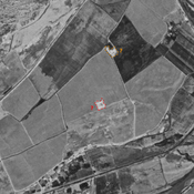
Class:
- Archaeological observation
- invisible
Identifiers:
- vici:place=97673
Annotations
Relevant museums
Tashkent, National Museum of Uzbek History
Historical museum
Nearby
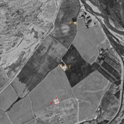
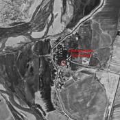
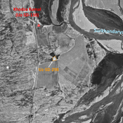
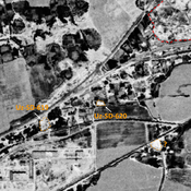
Unidentified site
Probable archaeological site. Square moud, located with satellite imagery.
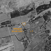
Qarakhon Tepe (Uz-SD-337) (1 km)
kushan settlement (0,037 ha). Small mound, studied by Annaev.
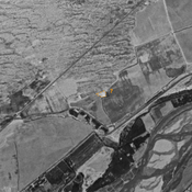
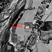
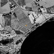
Unidentified site (1 km)
Probable archaeological site. Damaged mound, visible on Corona imagery (1970), since leveled and destroyed.