
No annotations have been added. Please add information about this place.
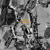
 Corona imagery (1970) - UZB-SD_1970_US-D (Komsomol 2)")
Surroundings:
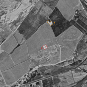
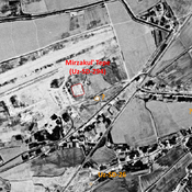

Location:
- Uzbekistan, Komsomol
- geo:37.320679,67.382782
- Location ± 0-5 m.
Class:
- Archaeological observation
- invisible
Identifiers:
- vici:place=97672
Annotations
Nearby
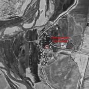
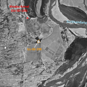
Unidentified site
Probable archaeological site. Square moud, located with satellite imagery.
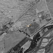
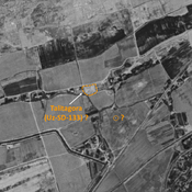
Unidentified site (1 km)
Probable archaeological site. Small mound, visible on Corona imagery (1970), since leveled and destroyed.
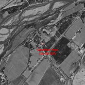
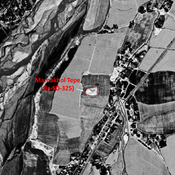
Ak Tepe (Uz-SD-114) (1 km)
Also known as Issir Tepe. Kushan and early Medieval settlement (1,5 ha). Badly damaged by modern cultivation. Studied by Arshavskaja & Rtveladze.