
No annotations have been added. Please add information about this place.
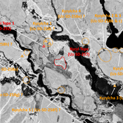
 Corona imagery (1970) - UZB-SD_1970_US-D (Qurama 1)")
Surroundings:

Location:
- Uzbekistan, Qurama
- geo:38.092419,67.672005
- Location ± 0-5 m.
Class:
- Archaeological observation
- invisible
Identifiers:
- vici:place=97510
Annotations
Nearby
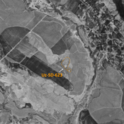
Unidentified site
Probable archaeological site. Located with satellite imagery. Possible northern extension, visible on Corona imagery (1970), since destroyed by urbanisation.
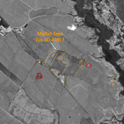
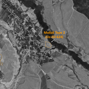
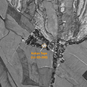
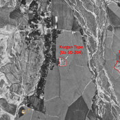
Mollali Tepe (Uz-SD-499) ? (2 km)
Late Bronze Age large settlement (9 ha). Mostly rectangular site, studied by S. Sagdullaev. Uncertain location according to S. Stride, at a place with noticeable shapes visible on Corona imagery (1970), and surviving mounds West and East.
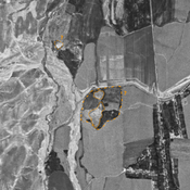
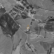
Unidentified site (3 km)
Probable archaeological site. Visible on Corona imagery (1970), since destroyed by urbanisation.