
STRIDE, S. (2004), La Géographie archéologique de la province du Surkhan Darya (Bactriane du Nord, Ouzbekistan du Sud). Unpublished dissertation at the Université panthéon-Sorbonne (Paris), 5 vols. ( https://sirisacademic.academia.edu/SebastianStride?swp=tc-au-44230952 )
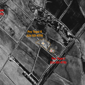
 - UZB-SD_1970_Chipjon Tepe 477")
Surroundings:


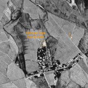


Location:
- Uzbekistan, Yurchi
- geo:38.349892,67.914162
- Location ± 0-5 m.
Period or year:
- 9xx / 11xx
Class:
- Rural settlement
- invisible
Identifiers:
- vici:place=97296
Annotations
Nearby
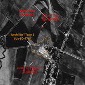
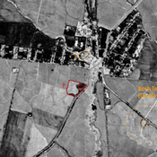
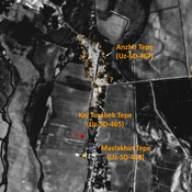
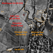
Jurchi Kurgan (Uz-SD-085) - ancient Sankarda ?
High Medieval to pre-modern period settlement (2 ha), consisting of a high citadel and lower town. Studied by Arshavskaja & Rtveladze, and MAFOuz. Possible identification with medieval town of Sankarda / Sangardah.
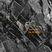
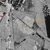
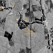
Unidentified site (1 km)
Probable settlement. Located with satellite imagery.
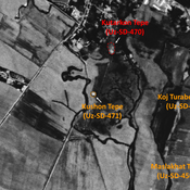
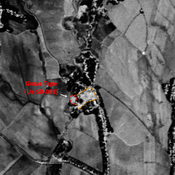
Nukhatak Tepe (Uz-SD-485) (1 km)
Undated settlement. Rectangular mound (0,2 ha), surveyed by MAFOuz.