


STRIDE, S. (2004), La Géographie archéologique de la province du Surkhan Darya (Bactriane du Nord, Ouzbekistan du Sud). Unpublished dissertation at the Université panthéon-Sorbonne (Paris), 5 vols. ( https://sirisacademic.academia.edu/SebastianStride?swp=tc-au-44230952 )

Location:
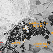
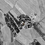
- Uzbekistan, Mumynkul’
- geo:38.206383,67.719978
- Location ± 0-5 m.
Period or year:
- 17xx? / 18xx
Class:
- Rural settlement
- visible
Identifiers:
- vici:place=97020
Annotations
Nearby
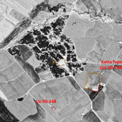
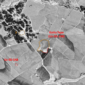
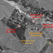
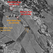
Roushanbaj Tepe (Uz-SD-180) (1 km)
Also known as Khodzha Burkhon, Kilich Ota and Ravshanboj Tepe. Early Medieval, pre-Mongol and modern settlement. Studied by Arshavskaja & Rtveladze, and MAFOuz.
Mazar Tepe (Uz-SD-207) (1 km)
Kushan (?) and early Medieval settlement (0,8 ha). Covered by a modern cemetery. Studied by Arshavskaja & Rtveladze, and MAFOuz.
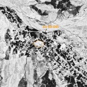
Munchak Tepe 2 (Uz-SD-556) (1 km)
Kushan site (0,1 ha). Finds of human bones. Mostly destroyed by nearby modern construction. Surveyed by MAFOuz.