


STRIDE, S. (2004), La Géographie archéologique de la province du Surkhan Darya (Bactriane du Nord, Ouzbekistan du Sud). Unpublished dissertation at the Université panthéon-Sorbonne (Paris), 5 vols. ( https://sirisacademic.academia.edu/SebastianStride?swp=tc-au-44230952 )

Location:
- Uzbekistan, Tash-Kurgan
- geo:38.359715,67.925644
- Location ± 0-5 m.
Period or year:
- 2xx? / unknown
Class:
- Rural settlement
- visible
Identifiers:
- vici:place=97000
Annotations
Nearby
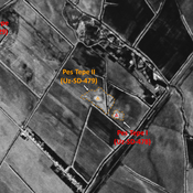
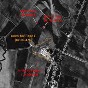
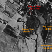
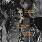
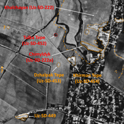
Dzhar Tepe (Uz-SD-483)
Medieval Islamic settlement (0,1 ha), in a similar aspect since 1950. Studied by MAFOuz.
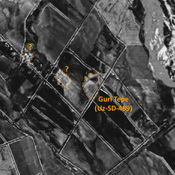
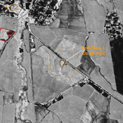
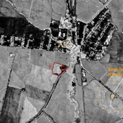
Unidentified site
Probable settlement. Located with satellite imagery.
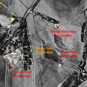
Gulistan Tepe (Uz-SD6486) (1 km)
Pre-Mongol Medieval Islamic site (0,04 ha). Visible on 1950 topographical maps, but already destroyed by 1970. Surveyed by MAFOuz.