
STRIDE, S. (2004), La Géographie archéologique de la province du Surkhan Darya (Bactriane du Nord, Ouzbekistan du Sud). Unpublished dissertation at the Université panthéon-Sorbonne (Paris), 5 vols. ( https://sirisacademic.academia.edu/SebastianStride?swp=tc-au-44230952 )

Location:
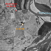
- Uzbekistan, Sayat
- geo:37.355911,67.394707
- Location ± 0-5 m.
Period or year:
- 10~ / 3xx
Class:
- Vicus or canabae
- invisible
Identifiers:
- vici:place=96876
Annotations
Nearby
Anonymous settlement (Uz-SD-298) (1 km)
Kushan and pre-Mongol Islamic settlement. Small mound, destroyed by modern urbanisation, but visible on Corona imagery. Studied by Annaev.
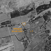
Khodza Kamal (Uz-SD-138) (1 km)
Kushan settlement. Compact mound (0,09 ha), with a possible lower town in the SE, covered by a modern cemetery. Studied by Annaev and Rtveladze.
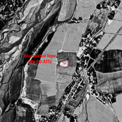
Dzheiran Khana (Uz-SD-240) (2 km)
Kushan small square site (0,2 ha). Studied by Rtveladze (1974).