
STRIDE, S. (2004), La Géographie archéologique de la province du Surkhan Darya (Bactriane du Nord, Ouzbekistan du Sud). Unpublished dissertation at the Université panthéon-Sorbonne (Paris), 5 vols. ( https://sirisacademic.academia.edu/SebastianStride?swp=tc-au-44230952 )
 - UZB-SD_1970_Kurgan Tepe 204")
Surroundings:


Location:
- Uzbekistan, Karsagan
- geo:38.158688,67.675583
- Location ± 0-5 m.
Period or year:
- 13xx / 15xx
Class:
- Rural settlement
- visible
Identifiers:
- vici:place=96729
Annotations
Nearby
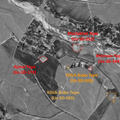
Taragaj Tepe (Uz-SD-260)
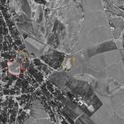
Kushan settlement (2 ha). Consisting of square citadel, and a damaged lower town. Studied by Rtveladze.
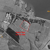
Unidentified site
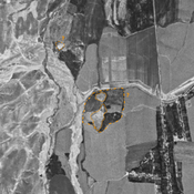
Probable archaeological site. Small mound, visible on Corona imagery (1970), since destroyed by modern construction.
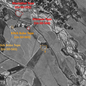
Unidentified site (3 km)
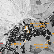
Probable archaeological site. Visible on Corona imagery (1970), since destroyed by modern construction and cultivation.