


STRIDE, S. (2004), La Géographie archéologique de la province du Surkhan Darya (Bactriane du Nord, Ouzbekistan du Sud). Unpublished dissertation at the Université panthéon-Sorbonne (Paris), 5 vols. ( https://sirisacademic.academia.edu/SebastianStride?swp=tc-au-44230952 )

Location:
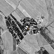
- Uzbekistan, Mumynkul’
- geo:38.214008,67.72805
- Location ± 0-5 m.
Period or year:
- 5xx / 18xx
Class:
- Rural settlement
- visible
Identifiers:
- vici:place=96714
Annotations
Nearby
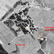
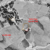
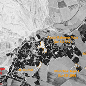
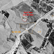
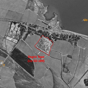
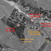
Muminkul' Tepe 1 (Uz-SD-559) (1 km)
Pre-modern (but possibly older) settlement on a hill (0,25 ha). Built upon by modern constructions. Surveyed by MAFOuz.
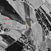
Anonymous settlement (Uz-SD-548) (1 km)
Medieval Islamic settlement (0,1 ha). Small circular site, studied by MAFOuz.
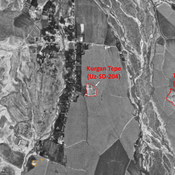
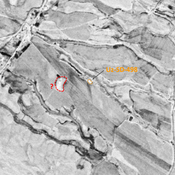
Unidentified site (1 km)
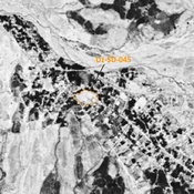
Probable archaeological site. Mound, visible on Corona imagery (1970), since destroyed by urbanisation.