
STRIDE, S. (2004), La Géographie archéologique de la province du Surkhan Darya (Bactriane du Nord, Ouzbekistan du Sud). Unpublished dissertation at the Université panthéon-Sorbonne (Paris), 5 vols. ( https://sirisacademic.academia.edu/SebastianStride?swp=tc-au-44230952 )
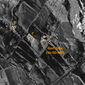
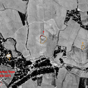
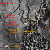
 Corona imagery (1970) - UZB-SD_1970_Guraz Tepe (Uz-SD-092)")
Surroundings:


Location:
- Uzbekistan, Guraso
- geo:38.376698,67.990326
- Location ± 0-5 m.
Period or year:
- 5xx / 12xx
Class:
- Vicus or canabae
- visible
Identifiers:
- vici:place=96667
Annotations
Nearby
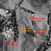
Kul' Tepe (Uz-SD-099) (1 km)
Early Medieval site (0,01 ha). Undescribed. Published in Arshavskaja & Rtveladze. Destroyed by modern construction, but small mound visible on Corona imagery (1970).
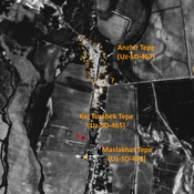
Unidentified site (2 km)
Probable archaeological site. Rectangular mound, located with satellite imagery.
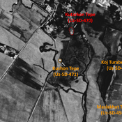
Unidentified site (3 km)
Probable settlement. Located with satellite imagery.