
Vici.org
No images available yet. Please add images related to this place.

Surroundings:

UZB-SD_1970_US-D (Kul’-Mazar 1)UZB-SD_1970_US (Yangihayot 1)UZB-SD_1970_US (Irmang 1)UZB-SD_1970_Kingyr Tepe 101UZB-SD_1970_Kul' Tepe 481UZB-SD_1970_Mor Tepe 102

Location:

  • Uzbekistan, Kul’-Mazar
  • geo:38.457081,67.943733
  • Location ± 0-5 m.

Class:

  • Archaeological observation
  • visible

Identifiers:

  • vici:place=96626

Annotations


Nearby

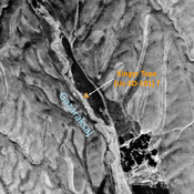
Unidentified site

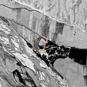
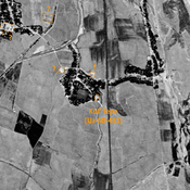
Probable archeological site. Mound visible on Corona imagery (1970), since destroyed by modern construction.

Unidentified site (1 km)

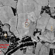
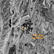
Probable archaeological site. Medium mound, visible on Corona imagery (1970) ; eastern and southern parts destroyed by modern cultivation.

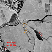
Kum Tepe (Uz-SD-098) (1 km)

Also known as Tortul Tepe. High Medieval settlement (0,2 ha). Studied by Arshavskaja & Rtveladze.


This object was added by Julien De Chocqueuse on 2024-05-17. Last update by Julien De Chocqueuse on 2024-05-17. Persistent URI: http://vici.org/vici/96626 . Download as RDF/XML, KML.
Annotation available using the Creative Commons Attribution-ShareAlike 3.0 Unported license. Metadata available using the Creative Commons Public Domain Dedication, unless it is explicitly stated otherwise.

Vici.org partners:

Livius.org: articles on ancient history   Rijksmuseum van Oudheden