
No annotations have been added. Please add information about this place.
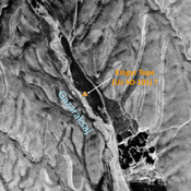
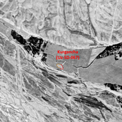
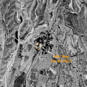
 Corona imagery (1970) - UZB-SD_1970_US (Irmang 1)")
Surroundings:

Location:
- Uzbekistan, Irmang
- geo:38.464859,67.887497
- Location ± 0-5 m.
Class:
- Archaeological observation
- visible
Identifiers:
- vici:place=96577
Annotations
Nearby
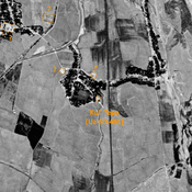
Unidentified site (2 km)
Possible archaeological site. Used today as a cemetery. Located with satellite imagery.
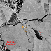
Tortuli Tepe (Uz-SD-106) (3 km)
High Medieval and pre-Modern settlement (0,5 ha). Studied by Arshavskaja & Rtveladze. Destroyed by modern construction and not clearly visible on Corona imagery (1970).
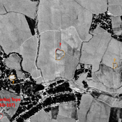
Kingyr Tepe (Uz-SD-101) ? (3 km)
Pre-Mongol, Late Medieval and pre-Modern site. Small mound (30 x 18m), studied by Arshavskaja & Rtvaldze, on the left bank of the Gazarksaj. Uncertain location, but a unique matching mound is visible on Corona imagery (1970), since destroyed.