
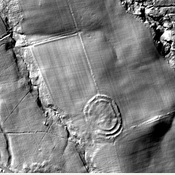
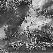
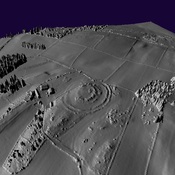
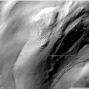
https://historicengland.org.uk/listing/the-list/list-entry/1011090

Surroundings:
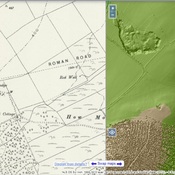

Location:
- United Kingdom of Great Britain and Northern Ireland, Callaly
- geo:55.381416,-1.906842
- Location ± 0-5 m.
Period or year:
- -1xxx? / unknown
Class:
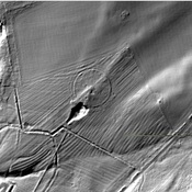
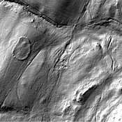
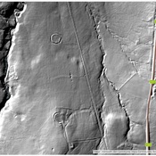
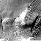
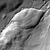
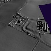
- Rural settlement
- visible
Identifiers:
- vici:place=92183
Annotations
Nearby
Round Barrow
Round Barrow
Low Wood (1 km)
Iron Age Settlement.
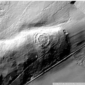
Dancing Hall Farm (1 km)
Tinkler's Dene univallate hillfort, 400m north-east of Dancing Hall Farm