
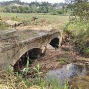
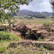
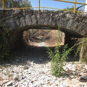
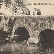
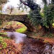
"Boyfriends bridge"


Surroundings:
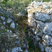

Location:
- Portugal, Ourém
- geo:39.653286,-8.592038
- Location ± 0-5 m.
Period or year:
- 15xx? /
Class:
- Bridge
- visible
Identifiers:
- vici:place=88654
Annotations
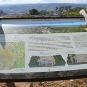
Nearby
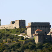
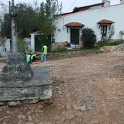
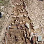
Castelo de Ourém (1 km)
pré-história, sucessivamente ocupado por Romanos, Visigodos e Muçulmanos. Estes últimos aí terão erguido uma fortificação.
Melroeira (1 km)
Modern bridge
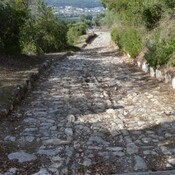
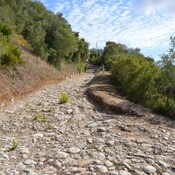
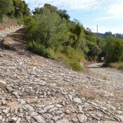
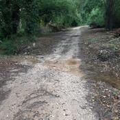
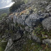
Mulher Morta ("Dead Woman") paved road (1 km)
Paved road in the western flank of the Ourem's Castle (towards "Santarém's Gate")